U.S. Streetcar Systems- Georgia – Atlanta Streetcar
Atlanta
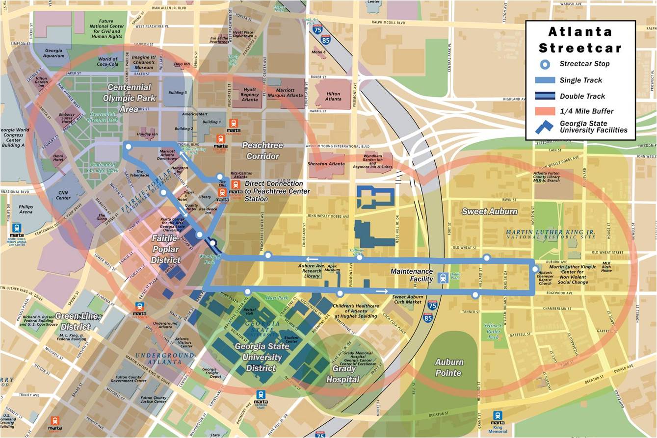
Began Operation: 2013
Route Miles: 2.7 mi.
Stops: 12
Org: TBD
Schedule: TBD
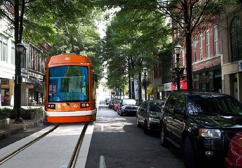
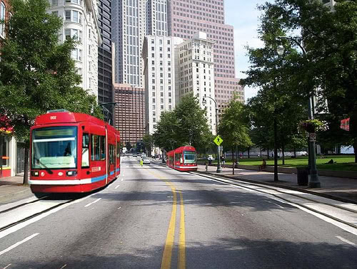
The Atlanta Streetcar initial operating segment will run 2.7 miles through the heart of Atlanta’s downtown, connecting some of the city’s most visited tourist attractions and supporting the changing face of downtown and its growing residential element. This $70M streetcar project is part of a regional transportation vision to enhance mobility beyond car transportation. This vision emphasizes transportation choices, consisting of viable transit options, well maintained pedestrian and bicycle facilities, and needed street and roadway improvements. The streetcar is another important step in improving Atlanta’s economic competitiveness by increasing urban mobility and promoting sustainable development and livability.
In 2003, Atlanta Streetcar Inc. began the process of uniting the City’s top business, government and community leaders in an effort to re-introduce streetcars in the city. During 2005-2007, the Peachtree Corridor Taskforce (and subsequently the Peachtree Corridor Partnership) studied streetcar feasibility and worked on funding and implementation strategy. The streetcar concept was subsequently incorporated into multiple local and regional planning efforts, including the Statewide Strategic Transportation Plan and the City Urban Redevelopment Plan. In the Fall of 2009, the City applied for federal stimulus dollars for a streetcar alignment utilizing the Peachtree corridor, This bid was denied, but the following year the city was successful in obtaining $47M in federal funding towards a downtown alignment through the Tiger II grant program. The City’s successful grant application emphasized the shovel-ready nature of the project, broad-based political support and numerous project partners, projections for significant economic benefits, and its local and regional transportation benefits. The City’s successful grant application emphasized the shovel-ready nature of the project, broad-based political support and numerous project partners, projections for significant economic benefits, and its local and regional transportation benefits. With funding now in place, the project is now preparing to transition into a Design / Build phase. Opening is projected in 2013.
The BeltLine
A complementary, but longer term project in Atlanta is the BeltLine, “a concept is to implement a combined system of trails and transit that will connect Atlanta BeltLine neighborhoods and economic development centers with existing and planned Atlanta BeltLine parks, existing transit networks like MARTA and major regional activity centers and attractions, such as Piedmont Hospital and Zoo Atlanta. The transit and trail systems will complement investments in parks, streetscapes, and other infrastructure projects to create a smarter framework for new denser development. In most cases, the transit and trail system will follow the Atlanta BeltLine Corridor. Atlanta BeltLine transit will include 22 miles of pedestrian-friendly rail-based transit such as modern streetcars or Light Rail vehicles”.
 |
 |
 |
|
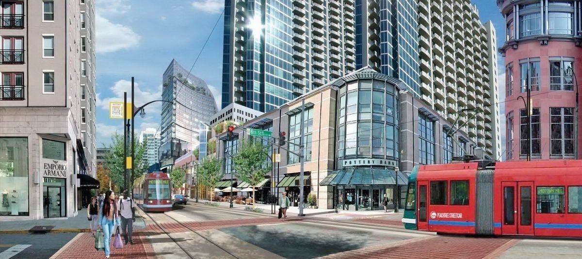
| Some renderings and maps, from Atlanta Streetcar | |||
|
News and Updates
Several brief video simulations have been posted on YouTube to give a flavor of what’s to come on the streetcar alignment.
|
|||